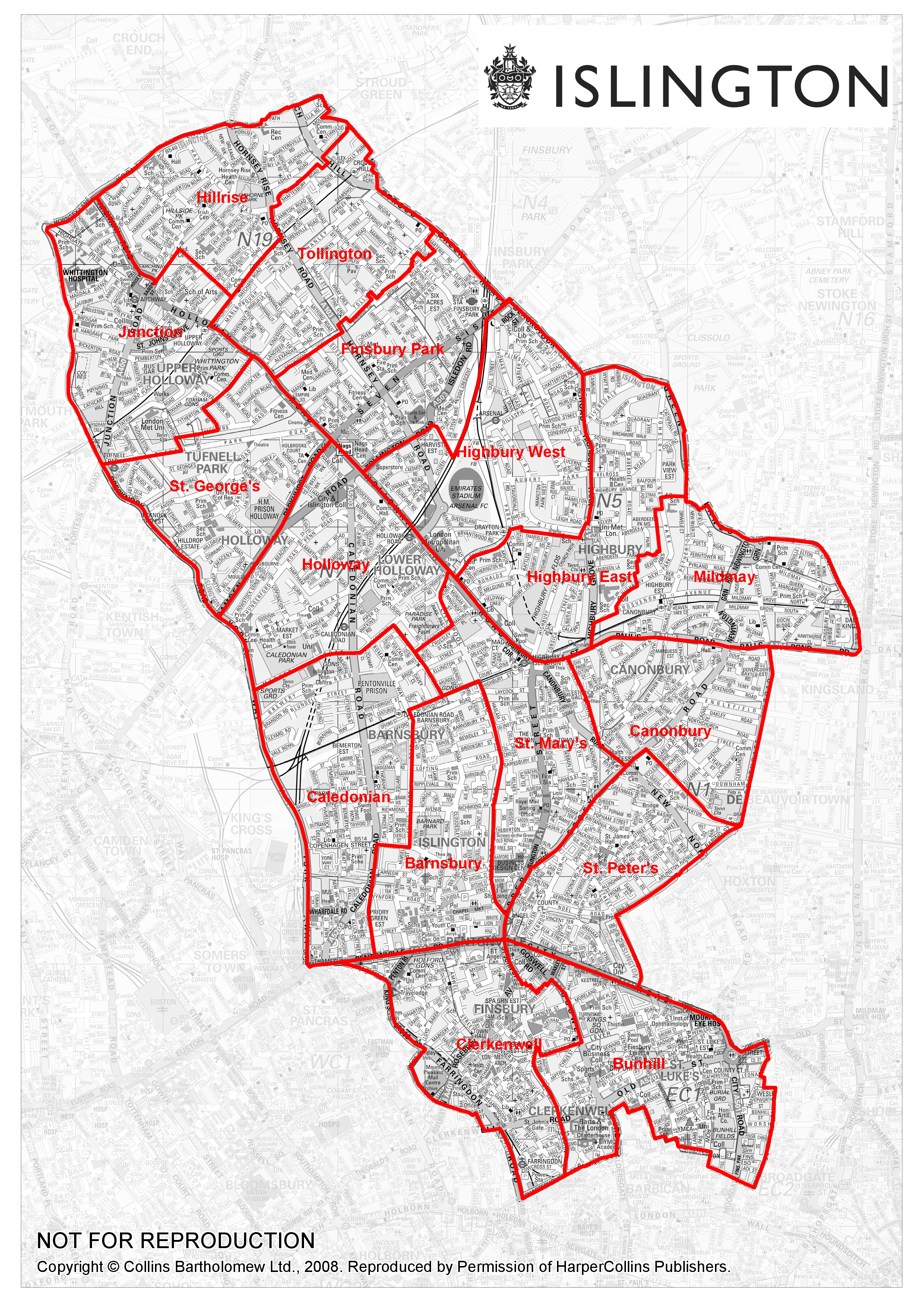
Paper map of Islington streets (9MB png, high density, very clear street names). The ward names and boundaries were changed in 2022 and THIS MAP IS OUT OF DATE. Click on map to show image then zoom in using browser controls. Source: Islington Council 2008.