
The width restriction on Drayton Park has raised a lot of wider issues about this cycle route. It’s also a Connect2 route chosen by Sustrans for a complete overhaul for pedestrians and cyclists.
Prompted by a comment on twitter for a ‘proper cycle lane on Drayton Park’, here is the the short list of ideas that council officers are currently working on. It’s a large file full of photos. Comments about any of the proposals are welcome.
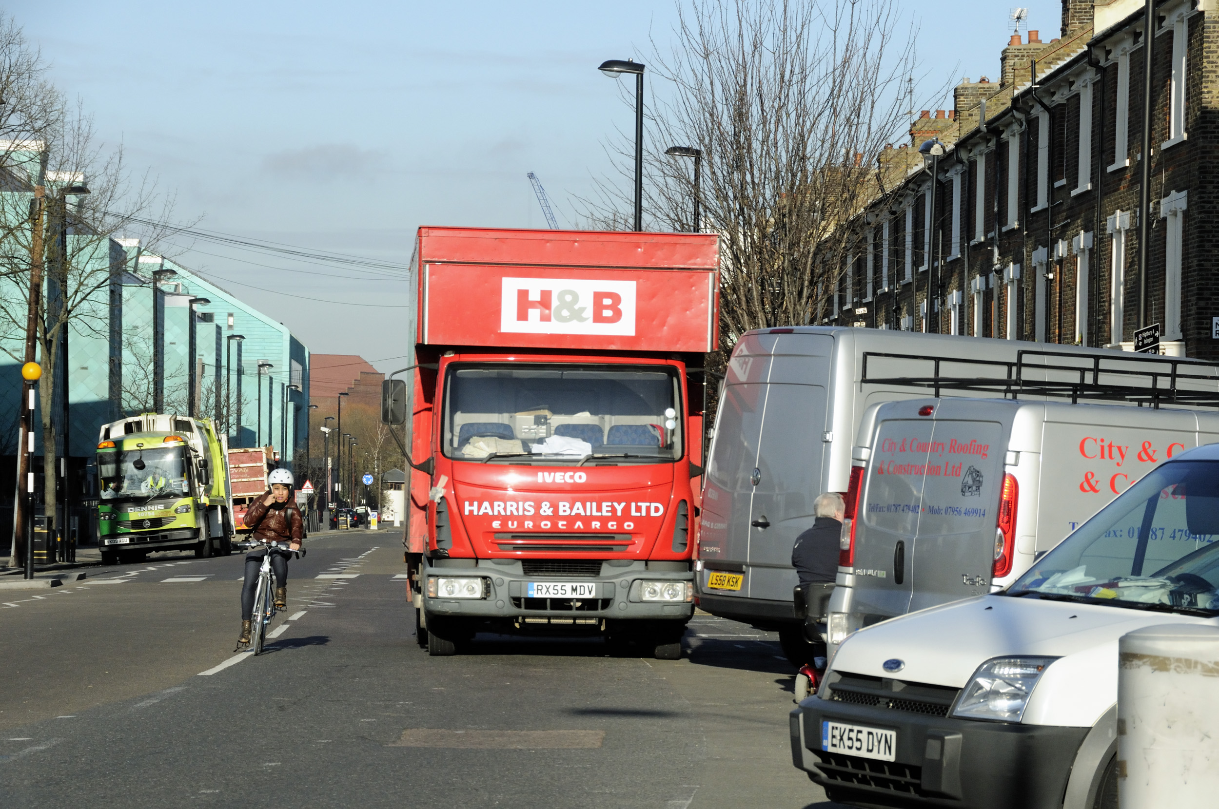
ICAG has emphasised the need for covered cycle parking outside the Arsenal Tube station and the removal/relocation of the echelon parking close to Drayton Park station.
For quick reference, here is the short List of possible Schemes (text only). (Item 10 may refer to the whole of Drayton Park or even the whole cycle route.)
1) Gillespie Road – entrance to Tannington Terrace
Proposals:
Raise crossover to same level as footway and construct with ASP flags on reinforced concrete.
Benefits: Provides a continuous step free pedestrian walkway for increased pedestrian safety.
Estimated Construction Cost: £5000
2) Gillespie Road by Tannington Terrace
Proposals:
Install cycle stands as possible.
Housing land, will need to secure agreement with housing
Benefits: Good location for cycle stands.
Estimated Construction Cost: £5,000
3) Crossover opposite Drayton Park junction with Elfort
Road
Proposals:
Raise crossover to same level as footway and construct with ASP flags on reinforced concrete.
Benefits: Provides a continuous step free pedestrian walkway for increased pedestrian safety.
Estimated Construction Cost: £5000
4) Arsenal Stadium entrance 2 to Box Office
Proposals:
Create a raised 2 metre wide buildout in reinforced materials to match existing footways
Benefits: Large shared priority area with enhanced speed reducing features. Increases pedestrian perception of space.
No loss in parking due to presence of existing parking restrictions.
Installation of red blossom trees not costed.
Estimated Construction Cost £50,000
5) Arsenal Stadium entrance 2 to Box Office
Proposals:
Create a raised 2 metre wide buildout in reinforced materials
to match existing footways
Benefits: Large shared priority area with enhanced speed
reducing features. Increases pedestrian perception of space.
No loss in parking due to presence of existing parking restrictions.
Installation of red blossom trees not costed.
Estimated Construction Cost £50,000
6) Drayton Park – Tree Lined Verge
Proposals:
Take up and relay surfacing surrounding existing tree lined
verge with resin bonded material to prevent further tree root
damage
Benefits: Reduces trip hazards for pedestrians, increases effective available walking space, reduces unsightly cracks and water ingress to further damage the paving.
Estimated Construction Cost £125,000
7) Drayton Park / Aubert Park
Ready for Implementation
Install Pedestrian refuge in Aubert Park
Possible removal of existing roundabout after safety audits are carried out.
Estimated Construction Cost £20,000
8 ) Drayton Park junction with Whistler Street
Proposals:
Raise two crossovers to same level as footway and construct with ASP flags on reinforced concrete.
Benefits: Provides a continuous step free pedestrian walkway for increased pedestrian safety.
Cost: £12,000
9) Drayton Park mainline station
Proposals:
Construct footway buildout to same level as footway and construct with ASP flags on reinforced concrete.
Benefits: Physically narrows carriageway to help reduce vehicular speeds, Increases pedestrian space. No loss in parking due to presence of existing parking restrictions.
Cost: £30,000
10) 56 – 80 Drayton Park – realignment of cycle lanes
Proposals:
Realign cycle lanes to back of carriageway and upgrade to current LCDS.
Benefits: Facilitation of safer cycle movement, reduced conflicts with motor vehicles and increased pedestrian safety as a result of the associated new zebra crossing
Estimated Construction Cost: £65,000
11) Drayton Park – Crossover opposite mainline station
Proposals:
Raise crossover to same level as footway and construct with ASP flags on reinforced concrete.
Benefits: Provides a continuous step free pedestrian
walkway for increased pedestrian safety.
Estimated Construction Cost: £5000
12) Drayton Park / Arvon Road pedestrian crossing point /central refuge
Proposals:
Extend existing buildout and construct new central refuge and dedicated pedestrian crossing point
Benefits: Safer crossing point for pedestrians, increased perception of space and reduction in vehicle speeds.
Estimated Construction Cost £20,000
13) Arvon Road
Proposals:
Replace existing tarmac footway with ASP flags in line with current standards. Resurface carriageway.
Benefits: Increases pedestrian comfort and alleviates hazards from existing potholes where the tarmac has worn away
Estimated Construction Cost: £45,000
14) Arvon Road – Drayton Park School
Proposals:
Look into replacing unsightly guardrail with alternatives such as buildouts and trees.
Benefits: Aesthetic improvements to the environment
Estimated Construction Cost: £30,000
15) Arvon Road – Junction with Witherington Road
Proposals:
Create a raised shared space by constructing raised entry treatment in reinforced materials to match existing footways
Benefits: Continuous pedestrian crossing point, speed reduction benefits and an increased pedestrian perception of space
Estimated Construction Costs £25,000
16) Cycle symbols along entire Connect2 Route
Proposals:
Approximately 30 cycle symbols along route to define and provide directions to cyclists.
Benefits: Increase awareness of cyclists of the route.
Estimated Construction Cost: £1,500
17) Quill Street – Gillespie Park
Proposals: Build new ramped access with handrail.
Estimated Construction Cost £20,000.
18) Gillespie Park – Seven Sisters
The possibility of a ramp at the other end of the park by Seven Sisters road has been looked at by Greenspace and not deemed possible due to constraints by network rail and the level gradients being too severe. We will ensure however that the area is cleaned and tidied. Possibility of Mural or sculpture works at this end.
Estimated Construction Cost 5,000.
19) General repairs to carriageways and pavements in
Gillespie Rd, Drayton Park and St Thomas’s Road
Proposals:
Estimated Construction Cost £50,000.
Proposals:
20) Install sinusoidal humps or explore the possibilty of chicanes outside 82 and 154 Drayton Park.
Estimated Construction Cost £10,000.
Re number 20, I would think sinusoidal humps are preferable to chicanes.
And blimey this stuff is expensive. £5,000 to install some cycle stands?
Overall I’m surprised at how poor these plans are for cyclists. I’m generally very supportive of Sustrans as an organisation but this in this example is missing an ideal opportunity to implement the sort of design that would meet the LCC’s Go Dutch goals, and could replicate what is currently being built in New York, Chicago and elsewhere. I get the feeling that the designers of this scheme are either not cyclists or do not ever cycle in this location. Generally, on the entirety of Drayton Park there is ample space for a proper segregated space for cycles. The obvious thing to do is to narrow the road , move car parking across and implement a wide cycle lane between the pavement and parked cars. Point 6 specifically states that the ‘tree lined verge’ will be resurfaced, so the money is available to implement these sort of changes to the road layout here.
Coming on to some of the points specifically:
7. Agree that removing the roundabout here would be a huge safety benefit, particularly if the road narrowings on the approach were also removed and the cycle lane continued through the junction.
9. This should be opposed unless some physical protection is provided for the cycle lane. Anyone who cycles here knows that cars drive into the cycle lane to cut the corner. Extending the pavement will remove the area that you can escape into when squeezed by vehicles.
10. I assume it relates to the section of cycle lane outside properties 56-80. It’s unclear to me what ‘back of carriageway’ means so difficult to comment. As said above this should mean following successful examples implemented on the continent and latterly in the US and elsewhere and mean moving car parking out into the road to provide space for a segregated cycle lane.
12. Point 10 suggests parts of the cycle lane will be upgraded to LCDS. The diagram provided in the pdf for point 12 suggests the central refuge will narrow the cycle lane to 1.3m. The minimum recommended cycle lane width in the LCDS is 2.0m, the absolute minimum being 1.5m. It’s absurd to be upgrading one part of a cycle lane on a road to LCDS while degrading another part of it to below that standard.
16. Unclear what ‘provide direction’ means. This could mean ‘provide direction’ that you stay close to the kerb (or on this road, the door zone) out of the way of cars, if this symbol is used in the same way as I’ve seen it used on other streets.
A number of the points refer to ‘speed reducing features’, some of which, like chicanes, will put cyclists in danger. But there is no mention of enforcement of the existing speed limit (almost universally flouted: http://www.islingtontribune.com/news/2012/apr/%E2%80%98speed-gun%E2%80%99-reveals-drivers-who-break-20mph-speed-limit) Low-cost average speed cameras (http://www.siemens.co.uk/traffic/en/index/productssolutionsservices/enforcement/safezone.htm) now have Home Office approval, I can’t think of a more appropriate location what with this road containing in short order a school, cycle route, housing, shops and a public transport hub.